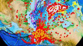
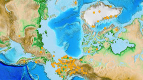
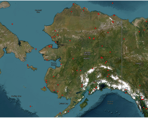
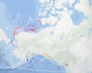
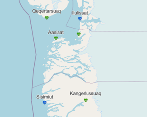
The Arctic Research Mapping Application is designed for funding agencies, logistics planners, research investigators, students, and others to explore information about science being conducted across the Arctic. Hundreds of project locations and ship tracks are shown on the interactive web map, with easy access to details on funding agency, funding program, scientific discipline, principal investigator, project title, and much more.
Funding for the ARMAP application suite ended on January 30, 2026. While no maintenance will be performed, these tools will be available to support regional networking efforts through 2026.
LAUNCH A VIEWER BELOW:
ARMAP | Research Cruise Viewer | Arctic Medical Facilities | Alaska Lands Viewer
Note: Visit www.ArcticObservingViewer.org to use the Arctic Observing Viewer application.